Many of you start a new school year today. In just a moment students will be arriving, anxiously waiting for the pearls of wisdom you choose to bestow upon them. Like me, many of you are probably wondering how summer went by so fast. It seems so close, yet as you frantically put those finishing touches on your classroom, it also seems infinitely far away. It wasn't that long ago, I think it was July, that I was in Alaska exploring Denali National Park and cruising the Inside Passage. When I get stressed about everything on my "to-do" list it helps to go back and re-live that adventure. It puts me back in my "happy place".
Because I consider myself a bit of a techie, I used the trip as an opportunity to dig in and really get familiar with Google Maps. Below is my Alaska Adventure.
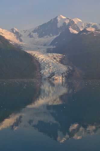
View Alaska Adventure in a larger map
Creating a Google Map is a wonderful way to combine stories, pictures, and video from your vacation. I was able to arrange events in order, map my travel route, and place pictures and videos in their proper place on the map. It's like an interactive travelogue. And sharing my travel story is as simple as copying and pasting a link into an e-mail (or blogpost).
When editing a "story" events can be rearranged by simply dragging them up and down the list on the right side of your screen. Lines can be added to show travel routes. One feature I really liked was Google Maps ability to make lines follow known roads or highways. (I don't even think you can do this in Google Earth.)

I had no problem adding photos I had posted to my Flickr account. In the "rich text" editor you just click on image button and paste the URL.

Google Maps will also accept some embed code. Using the "Edit HTML" feature, I was able to copy and paste code to embed video clips I posted to YouTube. Since Google owns YouTube it makes sense that this would work. I did not have any luck trying to embed something from Voicethread however. It may take some experimenting to see what it will and will not accept.

As you can imagine there are lots of possibilities for using Google Maps in the classroom. Maps are a great way for students to grasp large amounts of data in a way that isn't overwhelming. Here's one that shows recent earthquakes around the world (earthquakes.tafoni.net). Do you think your students could use this information to locate the boundaries of tectonic plates? If your class is looking at current events, the LA Times has one with updated info about the Station Fire.
You can also get students involved in creating Google Maps. In an earlier post I showed a "Breakfast Around the World" map created with data collected from our 3rd graders. Colette Cassinelli created a project she uses with her students called "Postcard Geography". I can see our 5th grade teachers doing something similar for combining information from students' state reports. (Colette also has some great Google Map links on her wiki.)
One hurdle you need jump when using maps with students is that Google Maps is not part of Google Apps for Education. So in order for students to edit a map or create their own, they need to register with Google and create their own Google account, or use one created by their teacher. Otherwise the teacher will have to take work submitted by students and post it to Google themselves. (That's what I've done.) Hopefully this is something Google will add to Apps for Ed in the future.
Enjoy playing with Google Maps and if the new school year gets a little overwhelming, take a time out, think back to summer and map your summer memories. I think I 'm going back and look at some Alaska pictures right now.


No comments:
Post a Comment